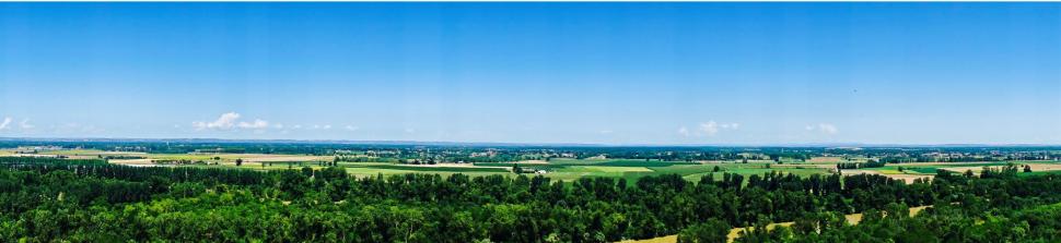
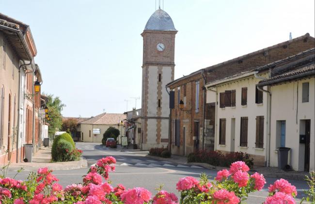
Castelferrus is on the left bank of the River Garonne, opposite Castelsarrasin, half way between Toulouse and Agen.
The famous hiking trail GR65 is located to the west of the village. Many hiking routes are to be found on the edge of the Garonne and to the south of the village.
Visit Castelferrus as a family with the Randoland cards, showing interesting things to discover and puzzles to solve : Download Randoland
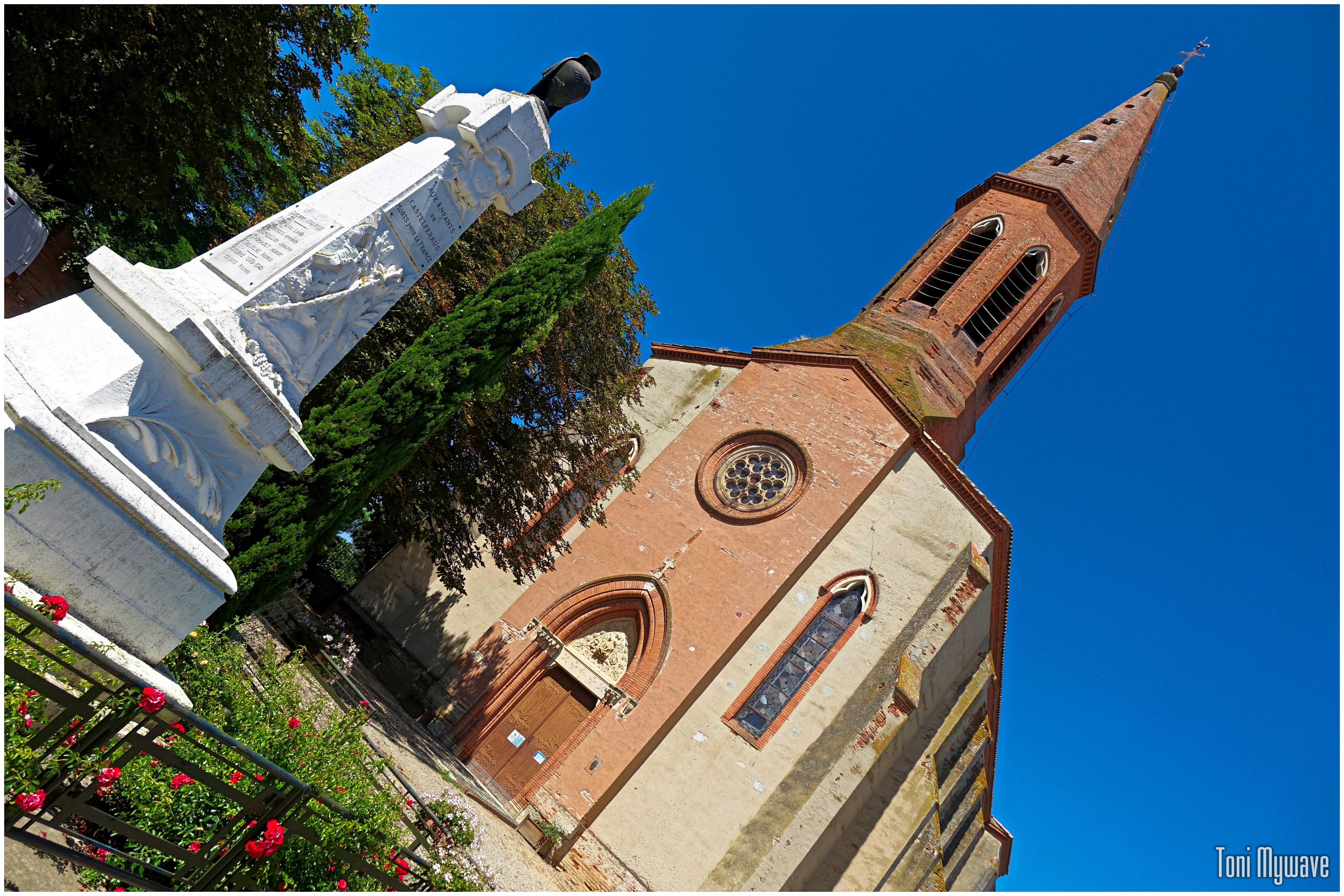
TO SEE / TO DO
- The castle (17th-18th century)
- The archeological site of Saint Genes which is not open to the public
CONTACTS / WEB LINKS
Castelferrus Town-hall
Place foyer, 82100 Castelferrus
GPS location : lat. 44.0080 - long. 1.08867
05 63 95 40 49
www.castelferrus.fr
Facebook